City of Minneapolis Public WorksTransportation Planning Intern
June 2018 - May 2019 |
|
Working with experienced and innovative planners at the Transportation Planning and Programming division of Minneapolis Public Works has been a privilege for which I'm very grateful. This opportunity involved working first hand in new infrastructure development and deployment, data synthesis and collaborative transportation policy development.
Internship highlights
|
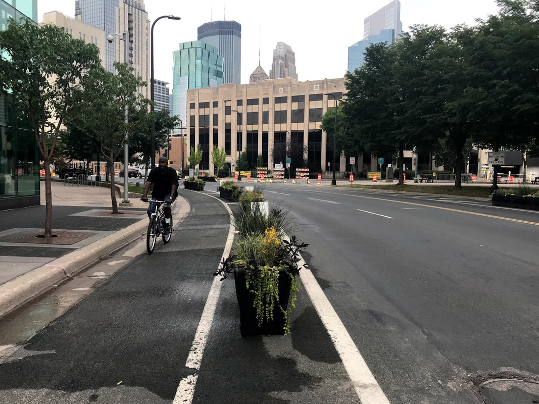
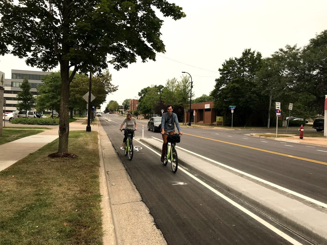
Evaluate and document performance of new planter protected bikeways and protected intersection designs
|
|
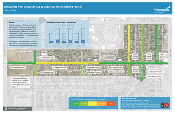
Transform raw data into engaging maps and graphics in Adobe Suite
|
|
|
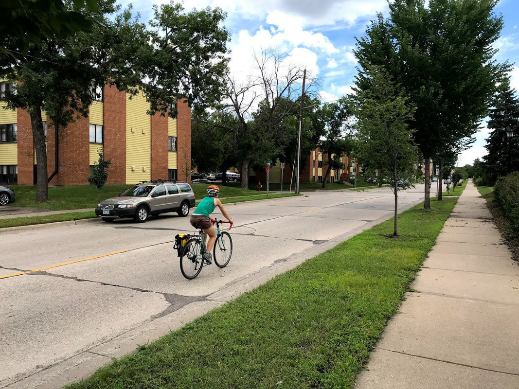
Develop comprehensive GIS map to identify count locations for 2018 Minneapolis Bicycle and Pedestrian Count Program
|
|
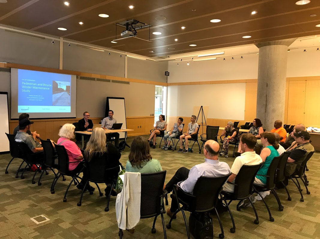
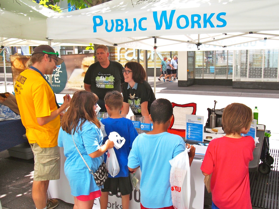
Engages community members on Vision Zero policy and ADA plan
|
|
|
Composed research brief on speed reduction, accessibility metrics to support development of Transportation Action Plan and Vision Zero Action Plan
|
|
Quantified parking usage to inform street design and address concerns
|
|
